 Katalog metadanych Miasta Leszna
Zbiór danych przestrzennych dla studium uwarunkowań i kierunków zagospodarowania przestrzennego Miasta Leszna
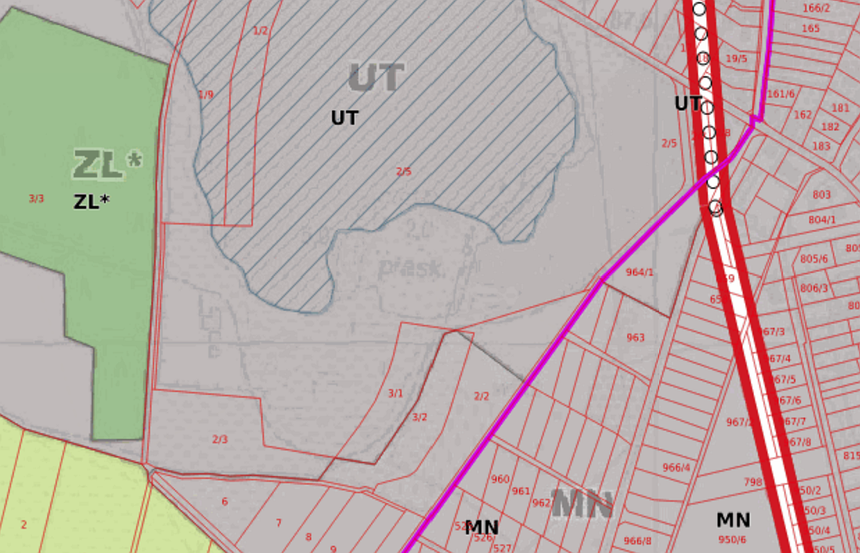
Zbiór danych przestrzennych dla studium uwarunkowań i kierunków zagospodarowania przestrzennego Miasta Leszna, zawiera m.in. informacje na temat rysunków oraz granic obowiązywania APP
Simple
- Date (Creation)
- 2022-09-21
- Date (Publication)
- 2022-09-21
- Maintenance and update frequency
- As needed
- Update scope
- Dataset
- Maintenance note
- Zbiór danych aktualizowany w przypadku zmiany studium uwarunkowań i kierunków zagospodarowania przestrzennego
- Keywords
-
- PlannedLandUse
- Access constraints
- Other restrictions
- Other constraints
- Brak ograniczeń w publicznym dostępie
- Use constraints
- Other restrictions
- Other constraints
- Brak warunków dostępu i użytkowania
- Spatial representation type
- Vector
- Spatial representation type
- Grid
- Denominator
- 10000
- Metadata language
- PolishPolish
N
S
E
W
))
- Reference system identifier
- http://www.opengis.net/def/crs/EPSG/0/2180
- Distribution format
-
-
Schemat aplikacyjny GML Planowanie przestrzenne
(
1.0
)
-
Schemat aplikacyjny GML Planowanie przestrzenne
(
1.0
)
- Hierarchy level
- Dataset
Conformance result
Conformance result
Conformance result
Conformance result
- Statement
- Opracowane studium uwarunkowań i kierunków zagospodarowania przestrzennego Miasta Leszna, zostało zwektoryzowane i udostępnione za pomocą usług: przeglądania (WMS) i pobierania (WFS), na portalu mapowym: https://sip.leszno.pl/leszno/portal-testowy oraz wyszukiwania (CSW) w Katalogu Metadanych: https://sip.leszno.pl/geonetwork
- File identifier
- 00984407-a597-783f-af93-b2137ef70611 XML
- Metadata language
- PolishPolish
- Character set
- UTF8
- Hierarchy level
- Dataset
- Date stamp
- 2022-11-23T12:57:21
- Metadata standard name
- ISO 19115
- Metadata standard version
- 2005/Amd 1:2008
Overviews
Spatial extent
N
S
E
W
Provided by

Associated resources
Not available